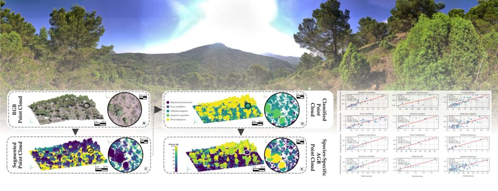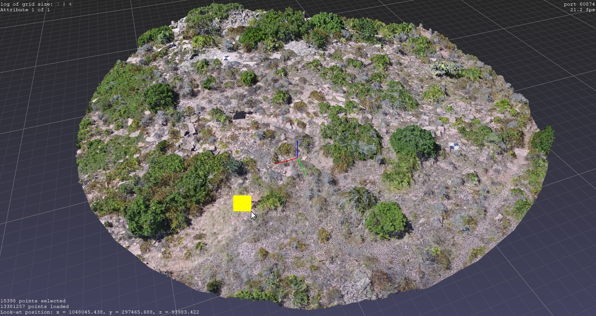
Our collegue in the Geoenvironmental Cartography and Remote Sensing Group (CGAT) Juan Pedro Carbonell Rivera will do his doctoral thesis reading: Processing and classification methods of UAV photogrammetric point clouds for forest structure and fire behavior analysis on 31/03/2025 at 17:30 in on-line mode. This doctoral thesis has been developed within the framework of the interuniversity program in Geomatics Engineering coordinated by our Department. You can follow the defense act in the link: https://teams.microsoft.com/l/meetup-join/19%3ameeting_Y2IyOTUyODQtZjVmNS00NWQ1LTg1MWEtNmUxYTg1YTlkNzYw%40thread.v2/0?context=%7b%22Tid%22%3a%22be4655df-ac73-401f-a7ae-198c3b72d0c6%22%2c%22Oid%22%3a%2205d4b650-789d-4554-b0fb-a758497294f7%22%7d