

Research Groups
Presentation
These structures channel the department’s research into different thematic lines. Each group is formed by a group of professors and research staff associated with projects generally funded by national and international public calls.
You can consult the results of the scientific production of the department’s research groups in the annual activity report.
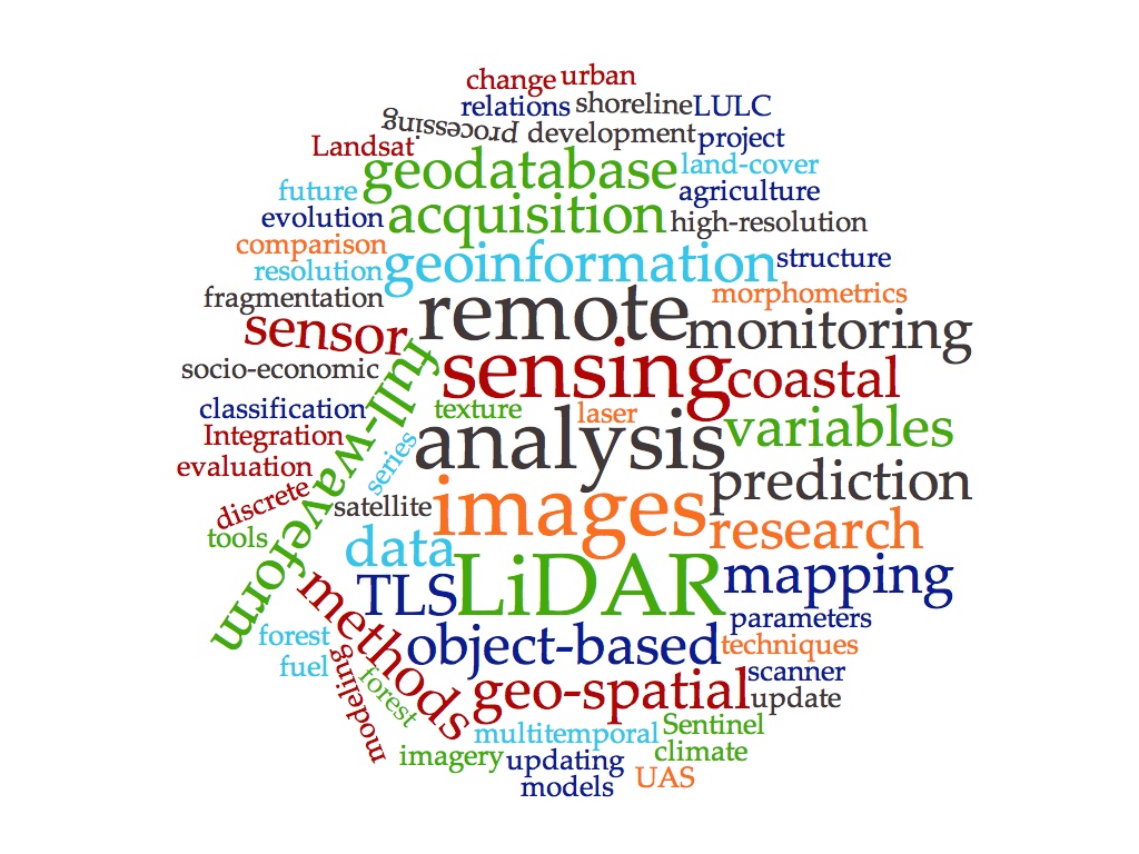
Geoenvironmental Cartography and Remote Sensing Research Group (CGAT)
Created in 2000, its main interests are focused on the development of geoinformation technology tools based on remote sensing, GIS and LiDAR processing to analyze and map the territory, and its application in the study of the environment and natural resources in its broadest sense: forestry, agricultural, urban and coastal areas.
DirectorsDr. Josep E. Pardo Pascual and Dr. Luis A. Ruiz.
Photogrammetry and Laser Scanning Research Group (GiFLE)
GIFLE is a research group focused on new advances and technologies related to Photogrammetry, Computer Vision, Laser Scanning and Remote Sensing. Our group is integrated by expert researchers in Geomatics Engineering. We work at the academic, institutional and business level, prioritizing the R+D+i component. Much of our research, innovation and technology transfer is linked to our own software development, at the request of companies and institutes that are committed to cutting-edge solutions.
DirectorDr. José Luis Lerma
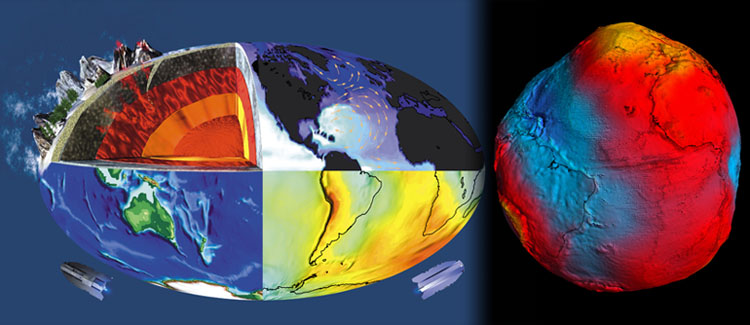
Geodesy, Cartography and GNSS Group
Develops projects and research contracts in GNSS submillimeter distancing for dimensional metrology, deformation monitoring, GNSS for the study of the troposphere, GNSS reflectometry, Geodynamics, real estate delimitation and legal geometries, Cartographic Coordination in the Territorial Administration System, Geolocation and characterization of safe public spaces in terms of gender violence, and UAS (drones): Operational Safety, Applications, Urban Aerial Mobility and Airspace Management (U-space).
DirectorDr. Sergio Baselga